pt-pten
User account menu
  • Log in
Main navigation
  • 0
    Home
  • 1
    • Nearshore-beach profile surveys
    • Subaerial beach profile
    • Subaerial beach survey
    • Sea cliff survey
    • Topo-hydrographic survey
  • 2
    Map viewer
  • 3
    • What is the COSMO Program?
    • Types of surveys
    • Technical team
  • 4
    FAQ

COSMO Program 2.0

Portuguese Coastal Monitoring Program

Logo COSMO2APA Logo
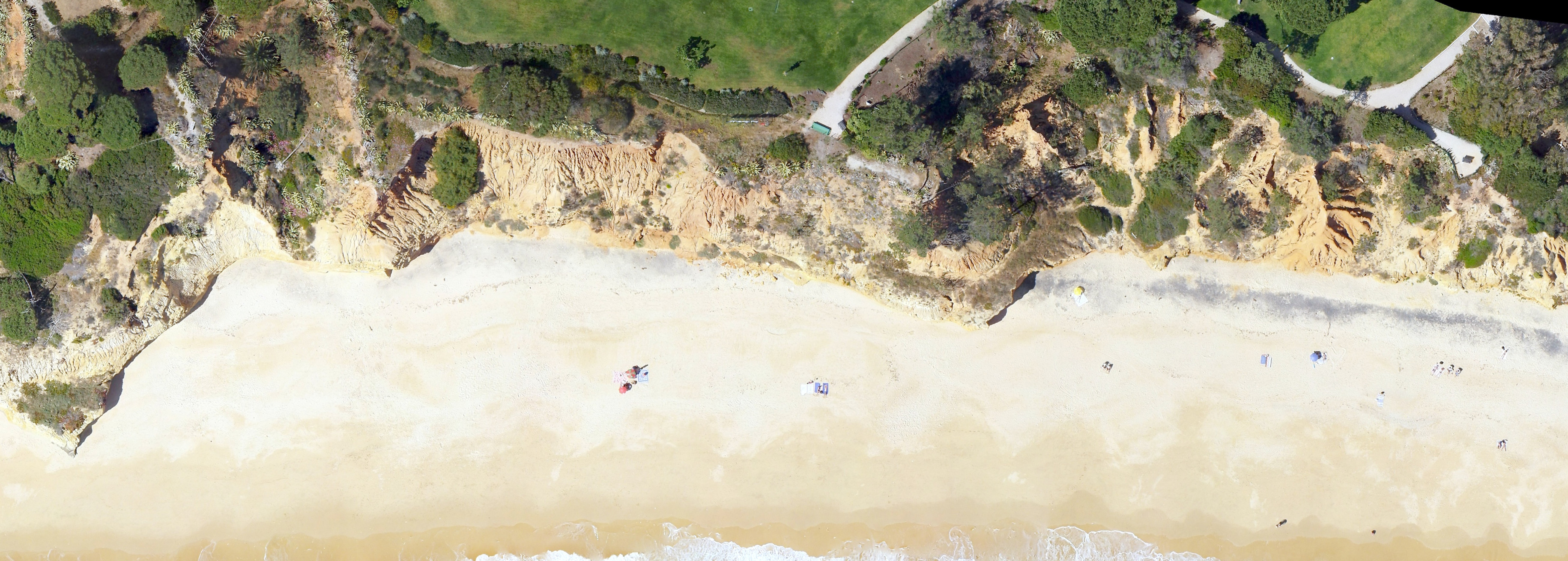
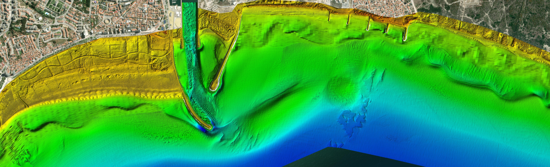
Vista aérea

Try our Map Viewer

Map Viewer

Try our Map Viewer
COSMO
COSMO
COSMO
COSMO
COSMO
Types of surveys
Ícone com uma mota de água sobre a água
Nearshore-beach profile
/en/monitorizacao?st=1
Ícone com um GPS na areia da praia
Subaerial beach profile
/en/monitorizacao?st=2
Ícone com um drone sobre a praia
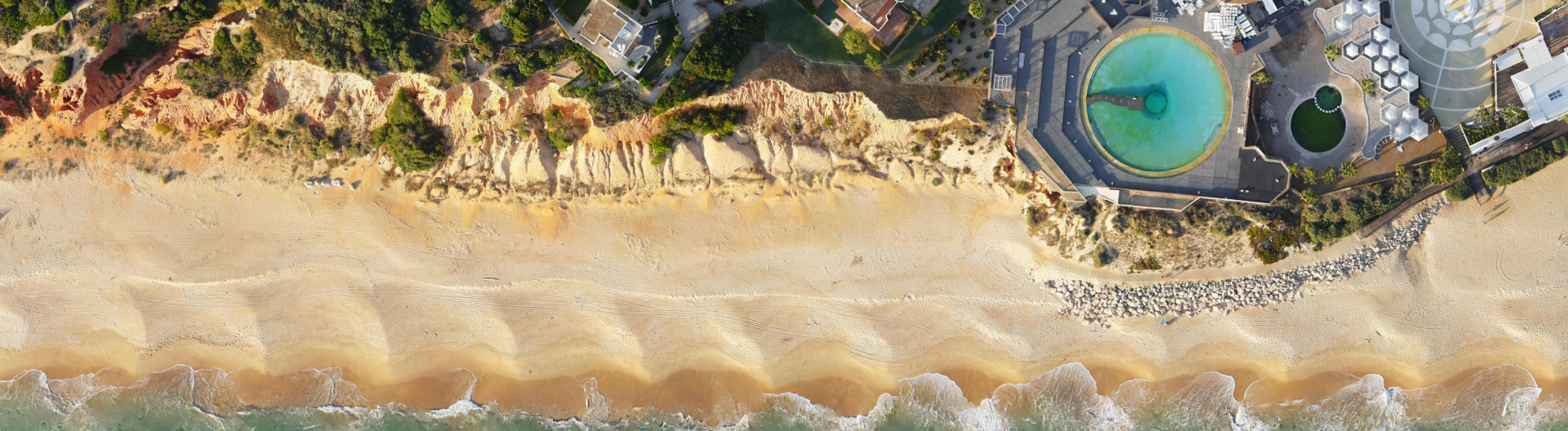
Subaerial beach survey
/en/monitorizacao?st=3
Ícone com um drone sobre uma arriba
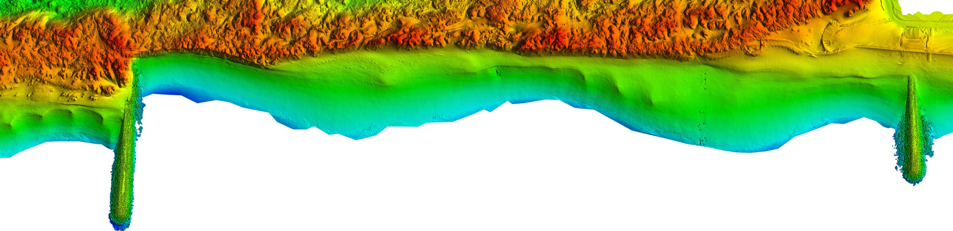
Sea cliff survey
/en/monitorizacao?st=4
Ícone com um drone e um barco
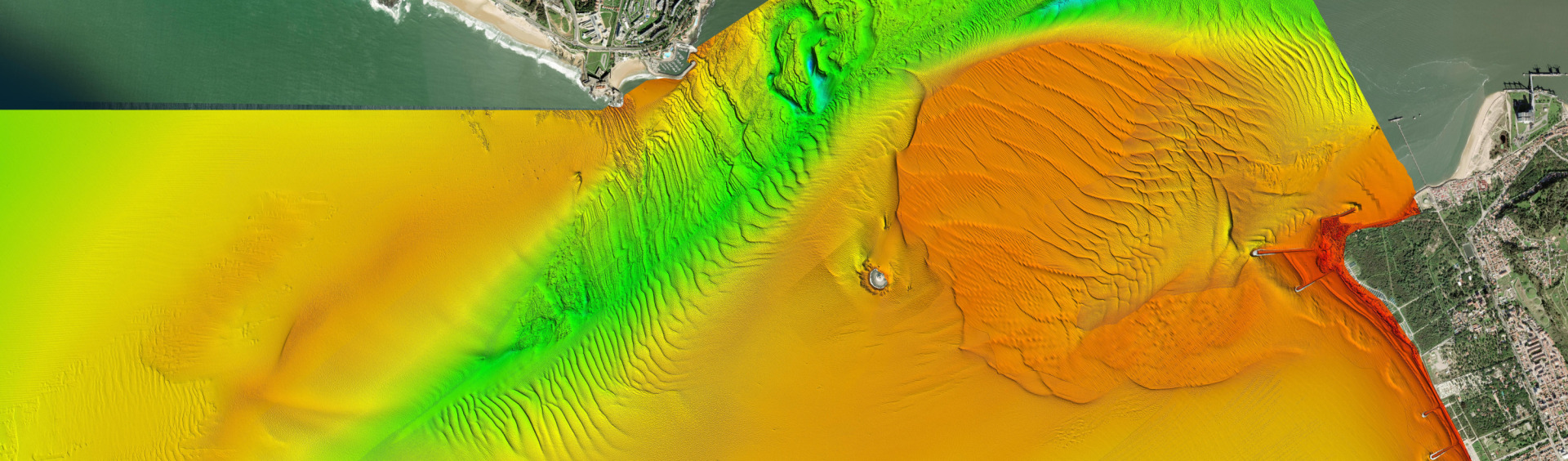
Topo-hydrographic survey
/en/monitorizacao?st=5

Our numbers

These are the main indicators of the impact of COSMO2.0 on society.

ìcon com cara sorridente
1, 031
Registered users
ìcon com código QR
2222
Surveys
ìcon com folhas de papel
27 355
Downloads
ìcon com sombreiro
381
Locations

COSMO 2.0 financed by

Logo do Fundo AmbientalLogos PRR - Repúlica Portuguesa - UE

COSMO 2018-2021 co-financed by

Logo dos financiadores
Rodapé
  • Contacts
  • Project Sheet
  • Privacy Policy
  • Terms and conditions